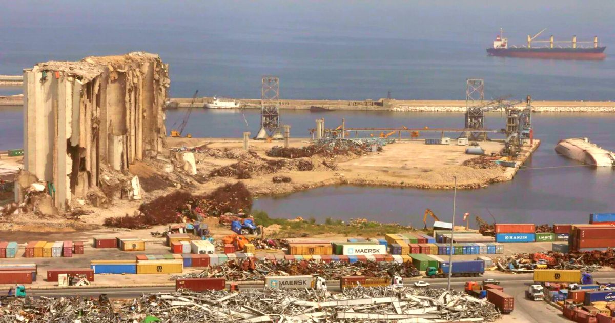
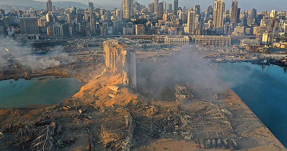
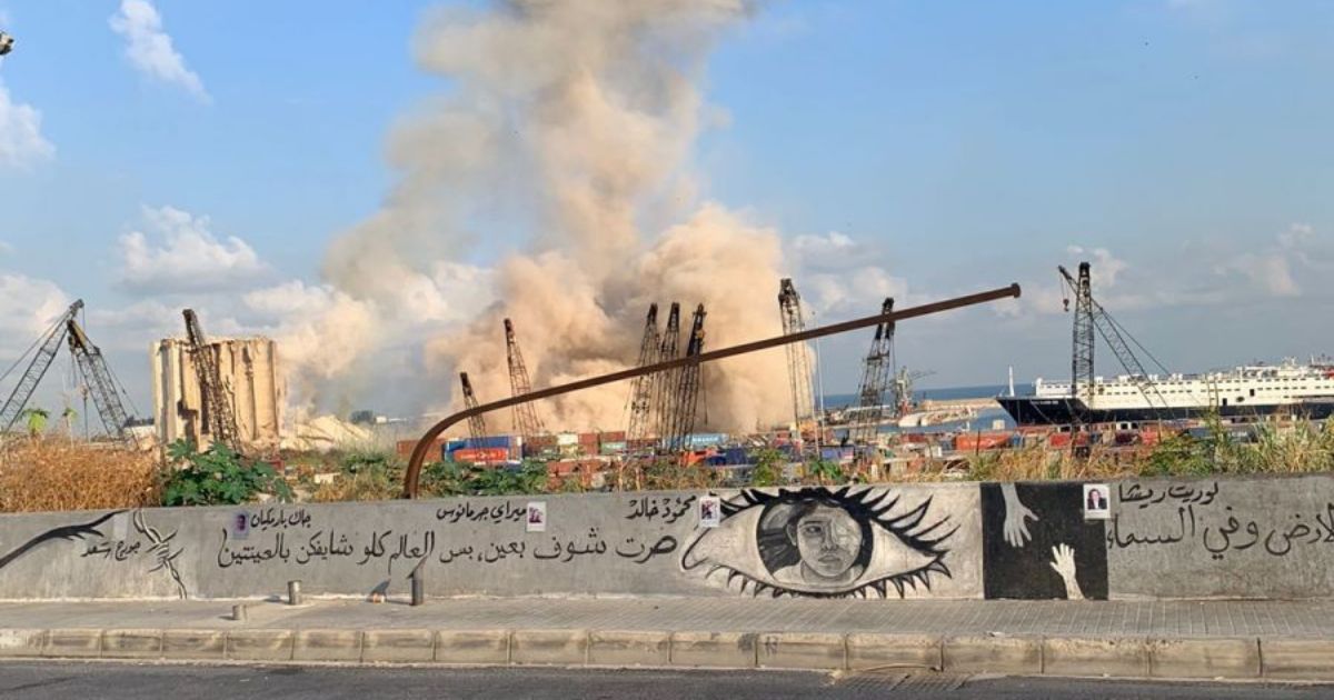
While Lebanese authorities continue to assess the extent of the damage caused by the Beirut explosion, NASA has released an image that illustrates the scale and dispersion of destruction across Beirut.
In collaboration with the Earth Observatory of Singapore, NASA’s Advanced Rapid Imaging Analysis (ARIA) team mapped the extent of the likely damage left behind by the August 4th explosion.
The map relied on satellite data to mark, using a color scale, ground surface changes in Beirut which, in turn, indicates the severity of sustained damage across the affected parts of the city.
Dark red pixels – like the ones concentrated in the port area – represent the most severe damage; orange translates to moderate damage, and yellow indicates somewhat less damage.
Each colored pixel, according to the map’s description, represents an area of 30 meters on the ground.
The data provided by this map can help identify the areas that have been most severely affected by the blast, which can help organize priorities, locate the people who are in need of assistance, and ultimately facilitate relief efforts.
NASA’s map shows large blots of dark red regions a good distance away from the Port of Beirut, as well as patches of varying sizes and intensity scattered over even larger distances south of the port, all the way from east to west.
ARIA is most commonly used for mapping the effects of earthquakes and other natural disasters and providing similar data to assist the response to these disasters.
Since the explosion shook Beirut on Tuesday, numerous countries, organizations, and celebrities have pledged millions of dollars in relief, with many nations sending rescue teams and different forms of humanitarian aid to Lebanon.
In familiar shows of solidarity, iconic landmarks in the US, UAE, Egypt, Canada, Kuwait, Brazil, and other states have been lit up with the Lebanese flag, while worldwide messages of support and condolences continue to flood into Lebanon.


